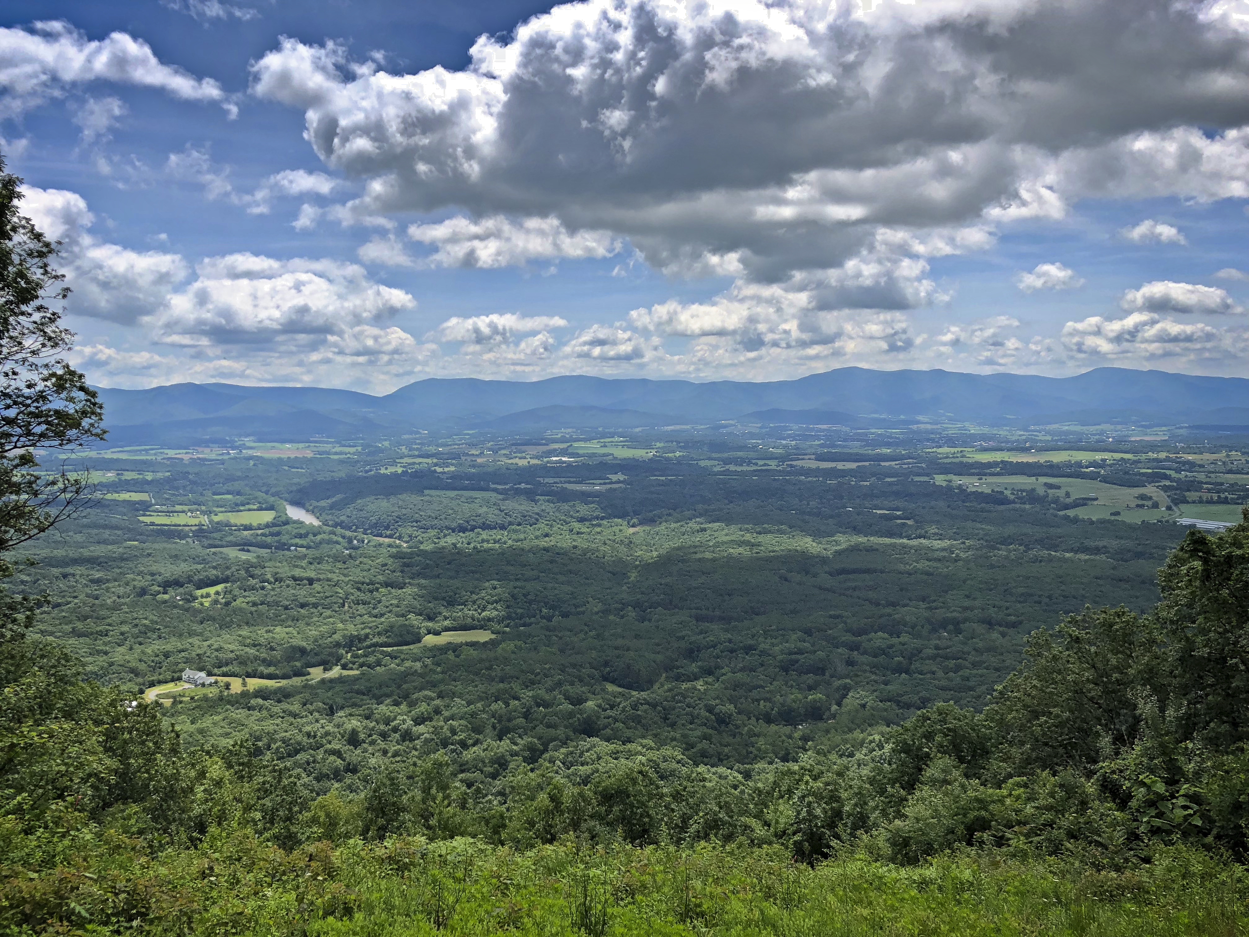
Here is a view of the northern Shenandoah Valley from the ridge coming out of Fort Valley. This view is looking east from the Kennedy Peak trailhead.
The river visible in the middle left is the South Fork of the Shenandoah.
The ridge in the distance is part of the Shenandoah National Park.
The gap in the ridge at center left is Thornton Gap where US 211 crosses the Skyline Drive.
The peak on the center right is Stony Man Mountain.
The peak on the far right is Hawksbill Mountain. It’s elevation of 4,050 feet makes it the highest point in Shenandoah National Park.